Services
The history of the genocide of Jews and Roma, a database of Holocaust victims.
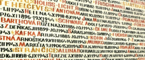
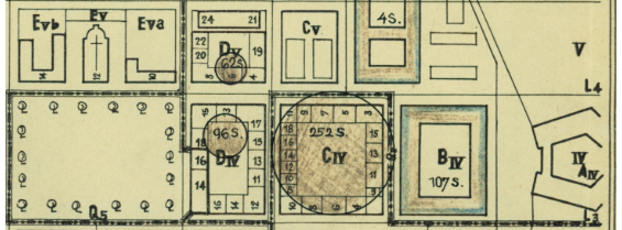
Information about Jewish prisoners from the Czech lands and prisoners of the Terezín ghetto.
The National Archives of the Czech Republic project entitled Album of Shoah Survivors from Prague documents individuals who were deported in mass transports from Prague to Terezín and other concentration camps between 1941 and 1944 and survived the Holocaust.
Information on Holocaust-related material in archives in Europe and globally.
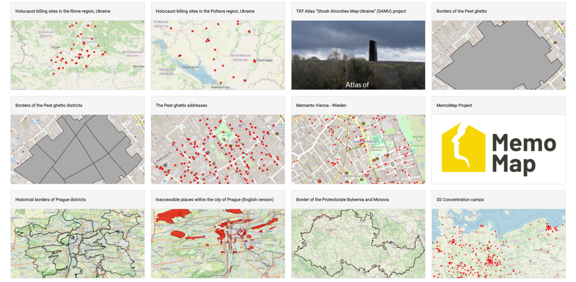
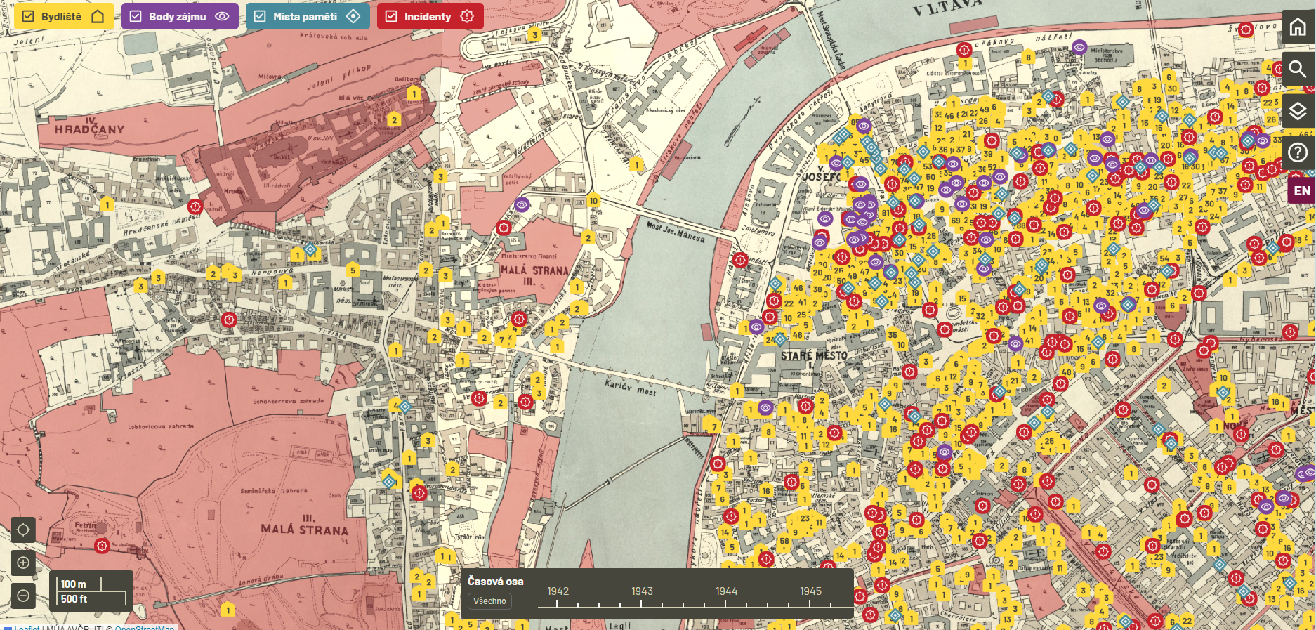
Datasets that make it possible to create maps on the subject of the Holocaust.

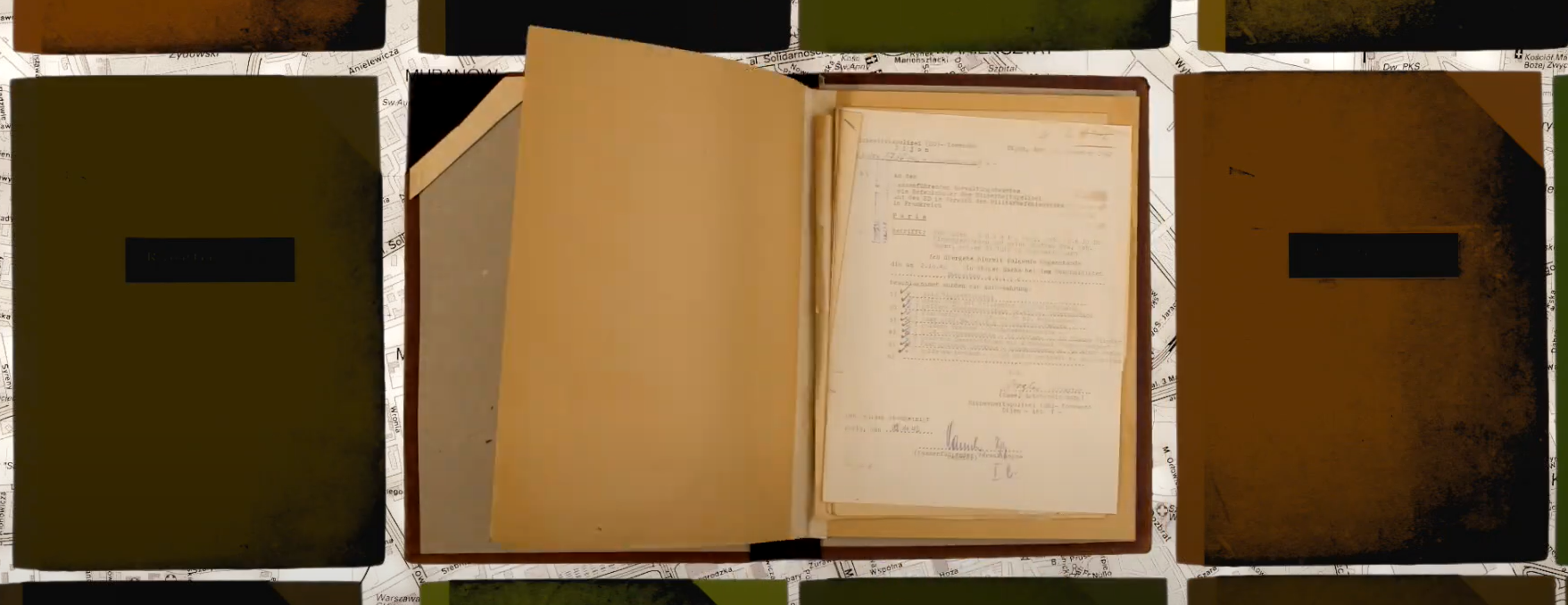
Annotated digitized documents - a new way of presenting digital archival content.

Support for research for archivists, librarians, curators, and early-career academics.